 "McMike" (mcmike)
08/24/2015 at 12:00 • Filed to: McSturgis, tutu153, twowheelsbad, road trip, maps
 16
16
 31
31
 "McMike" (mcmike)
08/24/2015 at 12:00 • Filed to: McSturgis, tutu153, twowheelsbad, road trip, maps |  16 16
|  31 31 |
Whenever I go somewhere I haven’t been before, I usually don’t rely on turn-by-turn directions. I take a look at the map, jot down a few notes on a piece of paper, and that’s good enough. The few times I do use it, (smartphone or otherwise) it’s usually when I get lost, or need to navigate as we go if the destination is further away.
That’s not so easy on a motorcycle - where “hands-free” just isn’t a suggestion, and it’s not so easy to turn it off/on, search, pinch, type, etc... You kind of need to set it and forget it, as you can’t edit it on the fly.
As some of you know, I rode my motorcycle from !!!error: Indecipherable SUB-paragraph formatting!!! during the first two weeks in August. It’s only now that I’m putting all the photos together, and trying to come up with some interesting parts of the trip to share. I wrote nothing down, and only have time-stamped images and a future credit card bill to freak out about sort it out.
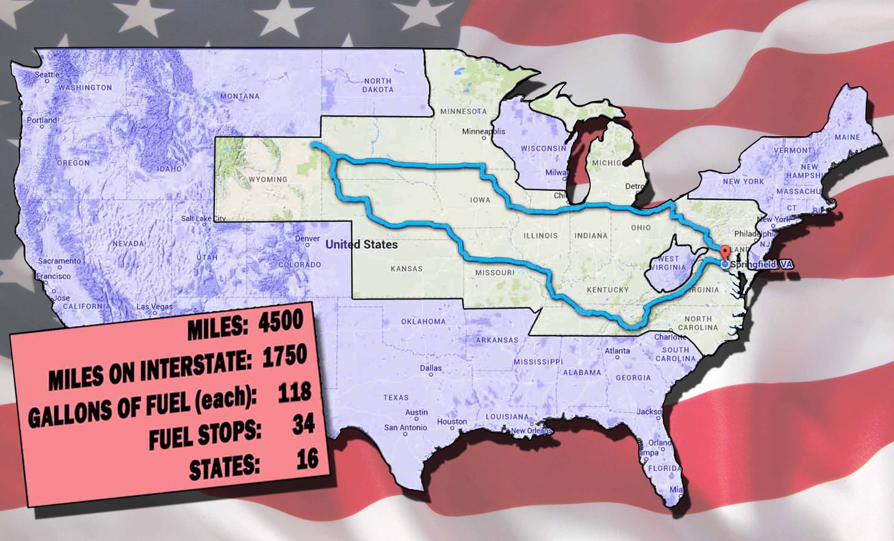
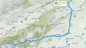
Our route - also known as the “Fuck you, West Virginia” map.
Sometimes, I like to use custom routes. These aren’t always so easy with Google Maps, as it likes to apply the “avoid highway & tolls ”filters to the whole route. It can be frustrating sometimes because the route I want many combine several of these filtered options. For those times, I‘ll pick a closer destination that will allow the route I wanted. It’s kind of a pain, but it allows me to focus on riding.
This time, we fired up the ol’ Google machine, selected the “off highway” option, selected the shortest one,* and off we went. No custom routes this trip, we went whenever the lady in my earphones told us to go.
And it was glorious - Especially out west.
*Not always. Sometimes we got a late start, or realized we were running out of daylight, and gave in and resorted to the interstate to cover some ground. Also, once you get east of the Appalachian Mountains, the off-highway route can often double your travel time, so you need to mix it up.
We averaged 345 miles a day; our longest being 441, and our shortest being 154 .
This is what I remember:
!!! UNKNOWN HEADER TYPE (MULTI-LINE BREAK?) !!!
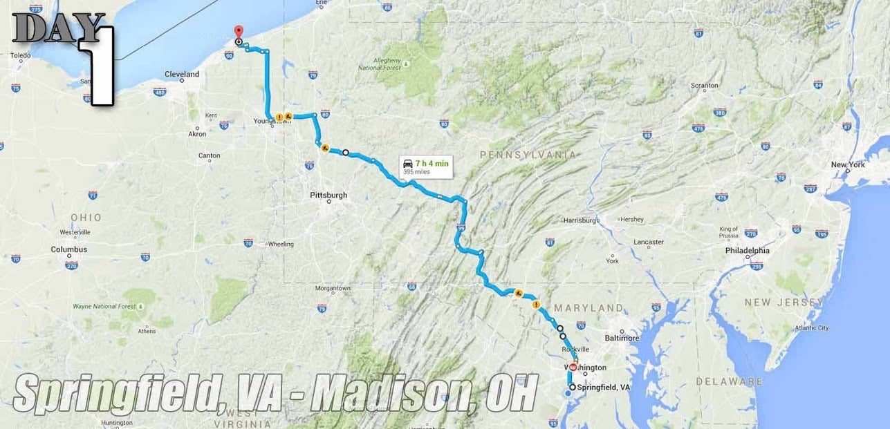
The route up over the mountains through PA was a welcome change after using the interstate to get out of DC. No helmet law in PA or OH.
!!! UNKNOWN CONTENT TYPE !!!
Day 03: 261 total, 249 (95%) were interstate.
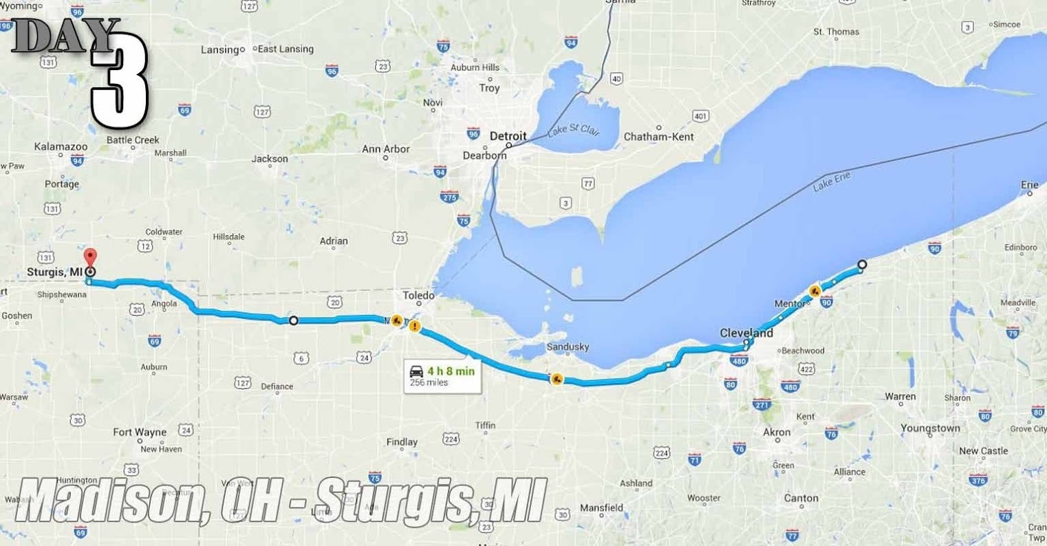
We ran into some mechanical issues pulling into our last stop, used this route was used to cover quick ground in order to find a dealer that would take walk-ins. No helmet law in OH, IN, or MI.
!!! UNKNOWN CONTENT TYPE !!!
Day 04: 319 total, 85 (27%) were interstate.
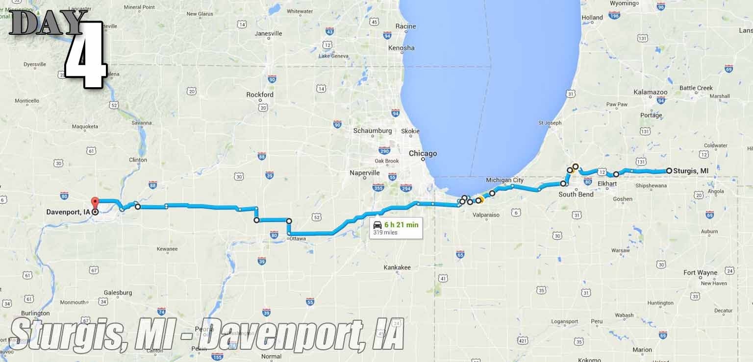
We only used the interstate to get past the Chicago metro area as soon as possible. Once we did, this was our first taste of the open mid-west. Miles and miles of two-lane 65mph roads with no one in sight. Rural Michigan had payphones and video rental stores. We even had to pay for gas inside a few times. Cute. This was also where we
!!!error: Indecipherable SUB-paragraph formatting!!!
. Some of us jumped in Lake Michigan. No Helmet law yet.
!!! UNKNOWN CONTENT TYPE !!!
Day 05: 441 total, 441 (100%) were interstate.
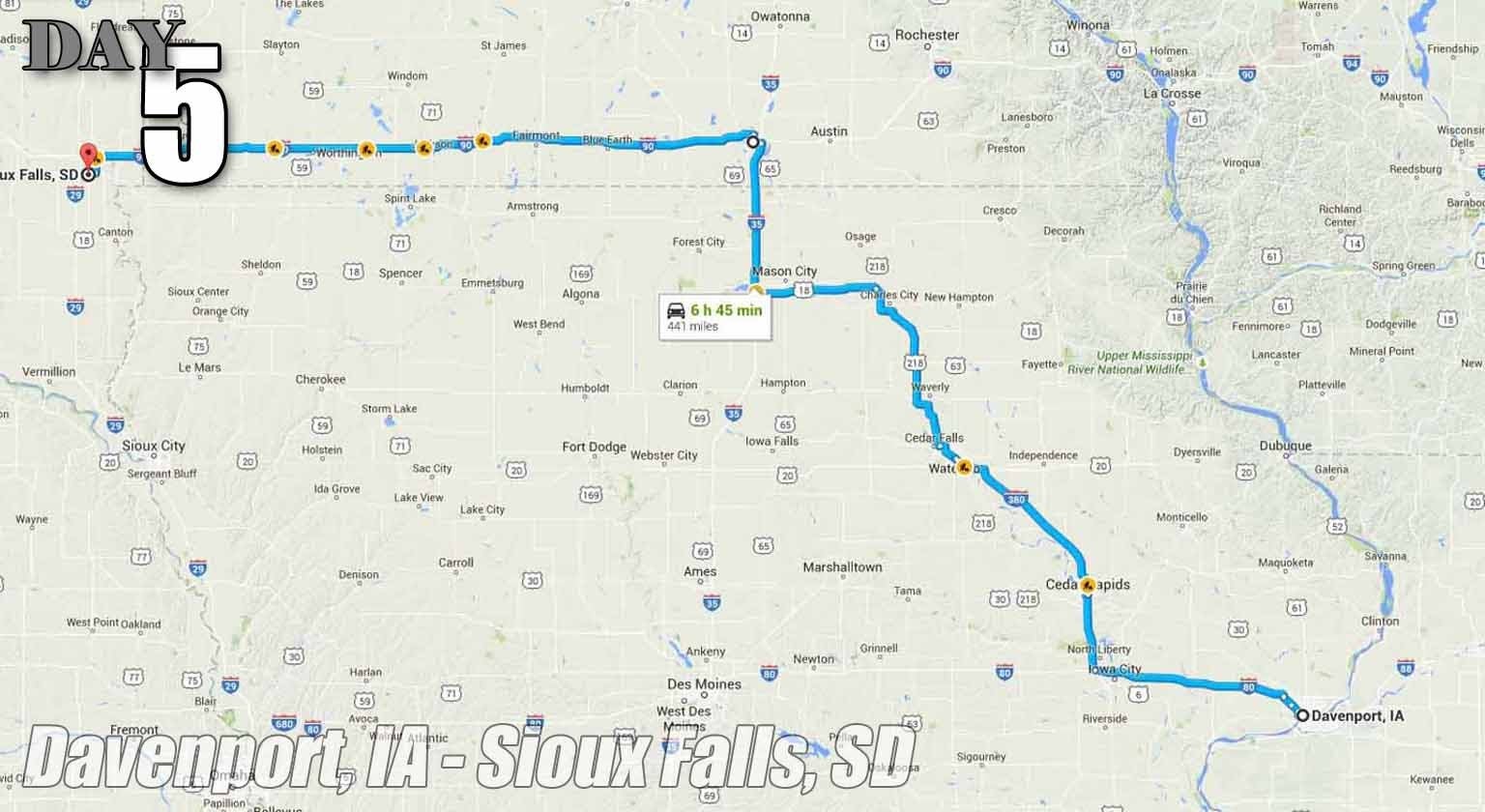
Day 5 was all business. We had ground to cover. Two new states, and still no helmet law. I asked another motorcyclist in a bar if he even owned a helmet. He laughed and said, “No, we just stay out of NE and MO”
!!! UNKNOWN CONTENT TYPE !!!
Day 06: 438 total, 211 (48%) were interstate.
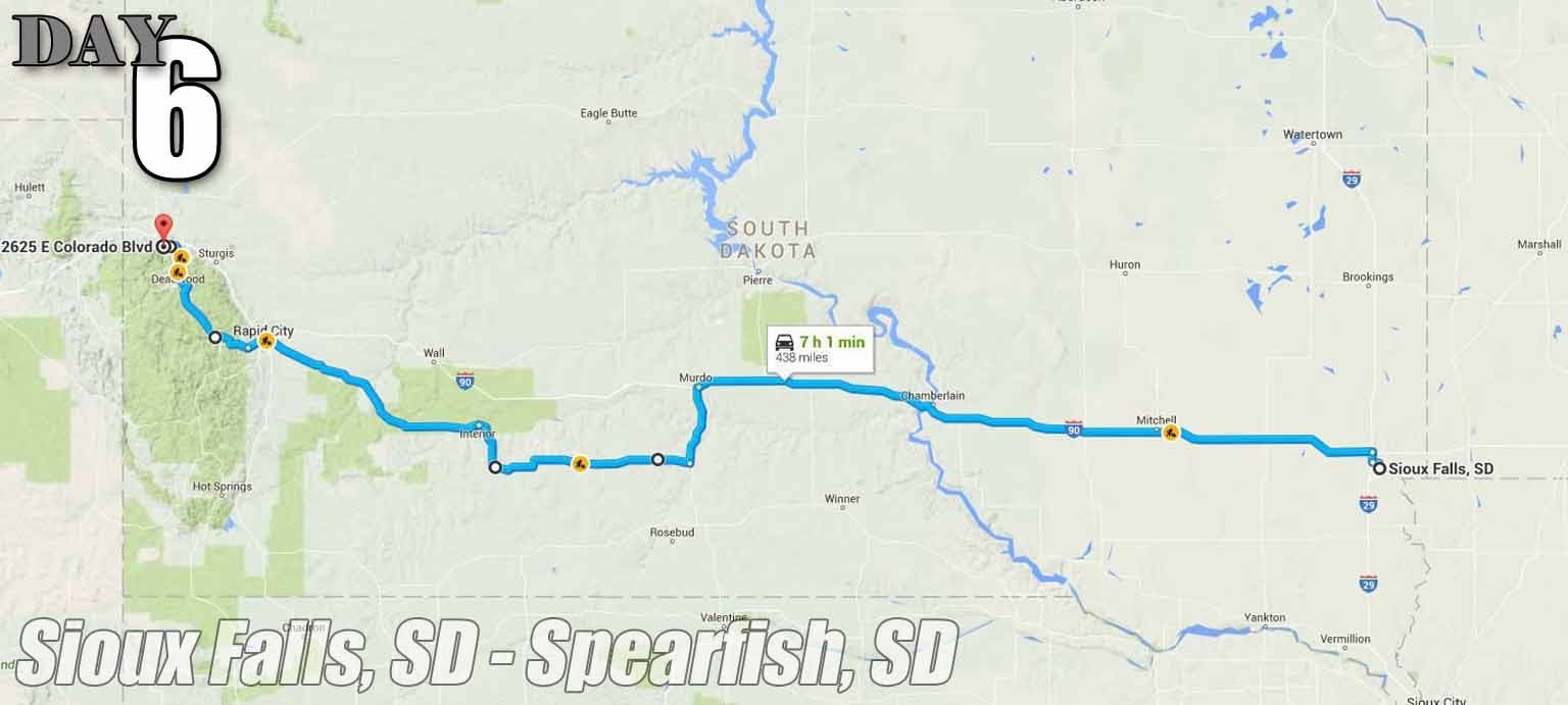
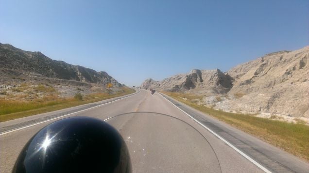
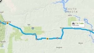
We also had to cover some ground this day, but couldn’t pass up the opportunity to get off the interstate as soon as we could to see some South Dakota. These were some of the prettiest sights we had seen so far. The last few hours consisted of the Badlands and the Black Hills.
!!! UNKNOWN CONTENT TYPE !!!
Day08: 164 total, 18 (10%) were interstate.
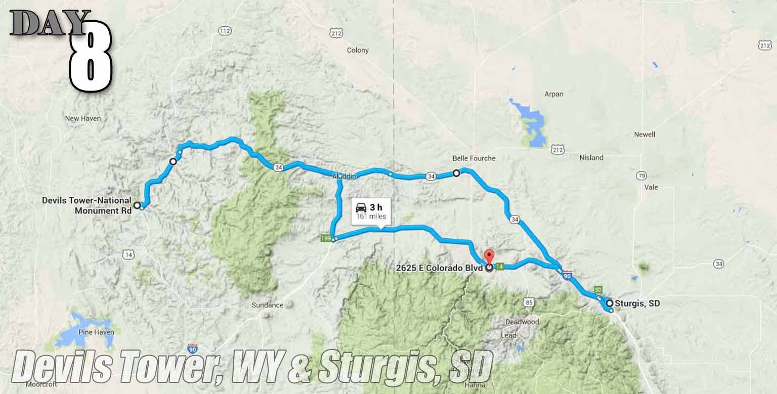
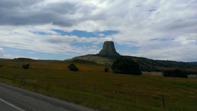
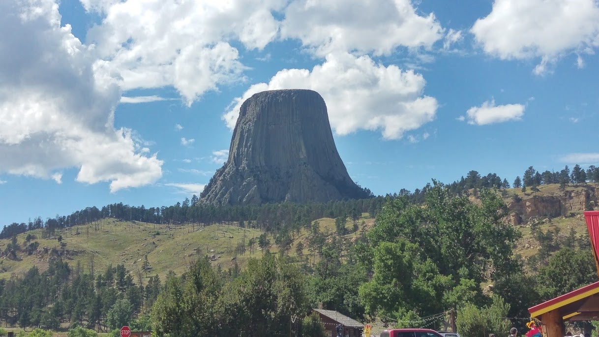
Trip to Devils Tower and to Sturgis/ Thunderdome Full Throttle. Had to put on the rain gear for the first time today. No helmets in WY, either.
!!! UNKNOWN CONTENT TYPE !!!
Day 09: 380 total, 0 (0%) were interstate.
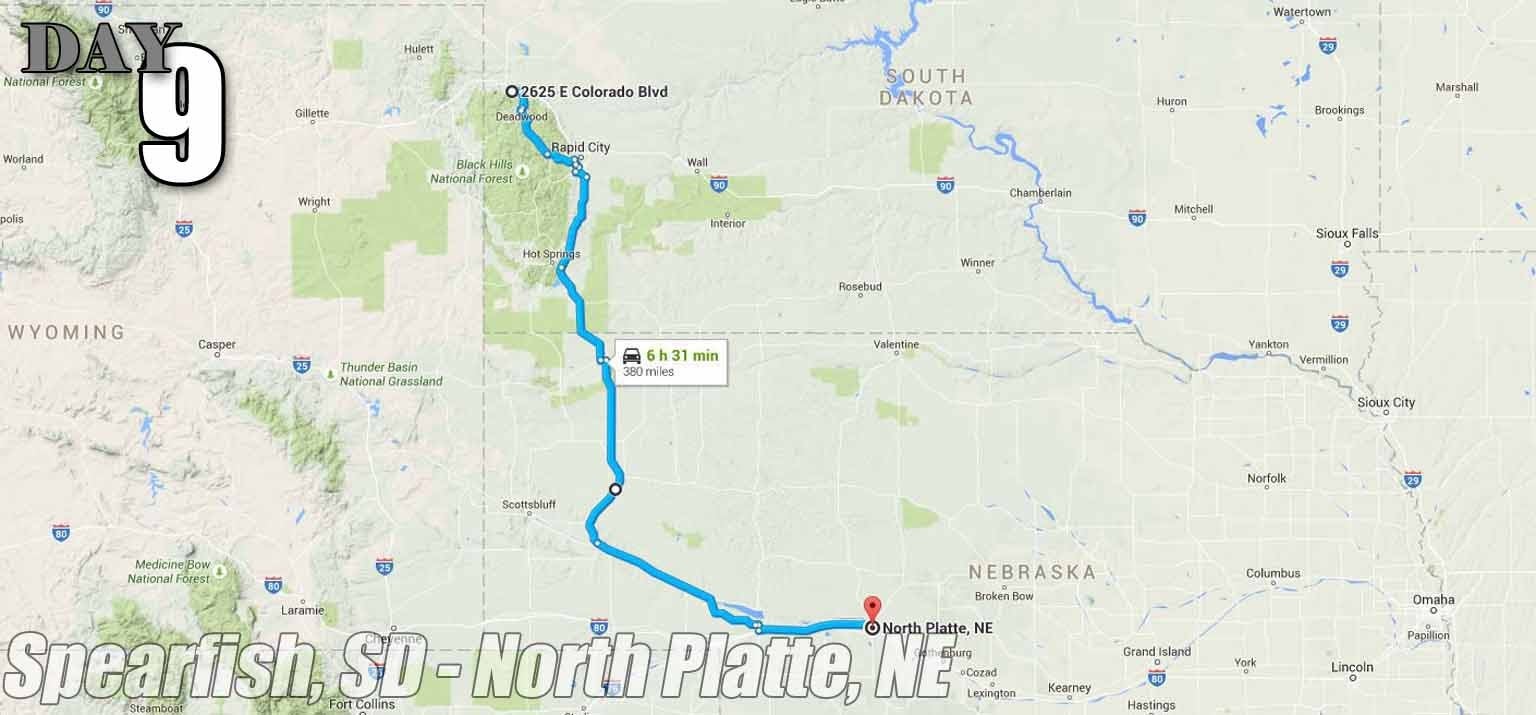
This was a pretty route once it stopped raining. Coldest and wettest miles we did this trip. I think I had all my gear on. Finally got out the first storm, but another one was approaching until we started heading west and out-ran it. We eventually Saw our first helmets law in over a week once we hit NE.
!!! UNKNOWN CONTENT TYPE !!!
Day 10: 280 total, 0 (0%) were interstate.
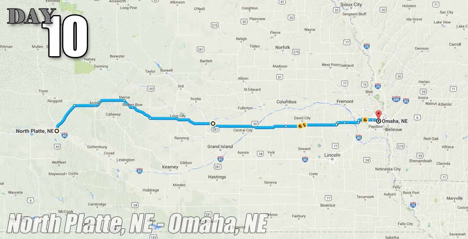
This one was pretty nice, too. Clear, no highway, and ran though some of the smallest towns I had ever seen. 65mph drops to 45mph, you drive past two buildings (one always being a Post Office), then you’re back up to 65.
!!! UNKNOWN CONTENT TYPE !!!
Day 11: 403 total, 0 (0%) were interstate.
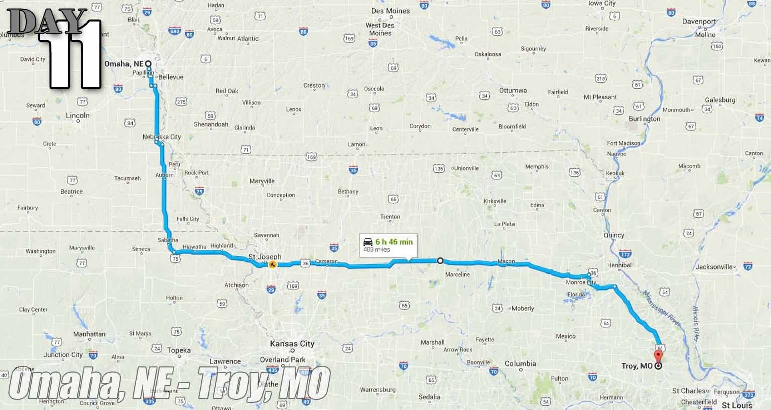
We ran into our first navigation LOL leaving Omaha. We turned down a gravel road, but thankfully it was only a half mile. KS has no helmet law, MO does.
!!! UNKNOWN CONTENT TYPE !!!
Day 12: 390 total, 137 (35%) were interstate.
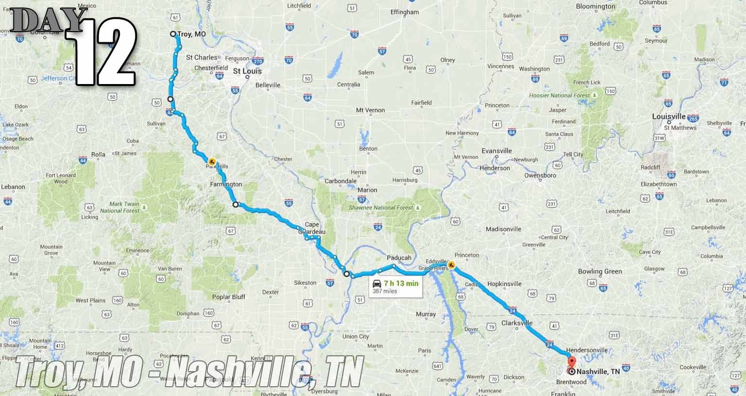
We gave up and hit the interstate as we got closer to Nashville. Unlike the other small towns we were staying in, this city offered more than an Applebee’s for night life, and we wanted to see it. Cairo IL was the most depressing town I had seen so far. KY had to helmet law, but TN did.
!!! UNKNOWN CONTENT TYPE !!!
Day 13: 260 total, 10 (2%) were interstate
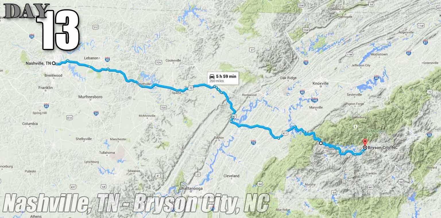
This one wasn’t bad either. Very little highway, and it included the Tail of the Dragon. While on the highway a full tire retread in the road took out three cars next to us. Helmet laws in NC.
!!! UNKNOWN CONTENT TYPE !!!
Day 14: 407 total, 300 (75%) were interstate
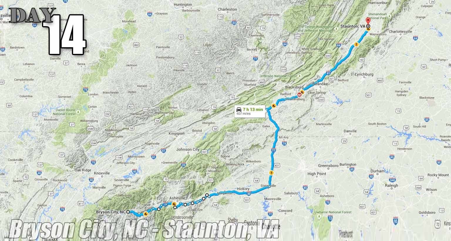
God, the “avoid highways” route killed us. I think it took us 3 hours to do 100 miles. The route was really neat, included part of the Blue Ridge Parkway, and some of the slowest, windiest, remote roads along side the Blue Ridge Mtns. Google threw us another gravel road here, too. As we progressed that morning, I kept looking at the navigation, and we just weren’t making any progress. Had to give in and jump on the interstate.
This is also where an asshole deer family of three decided to merge onto the roadway without signaling. I can still hear the 12 hooves as they ran on either side of me freaking out for a hundred feet or so. Code brown moment, for sure.
!!! UNKNOWN CONTENT TYPE !!!
Day 15: 154 total, 154 (100%) were interstate.
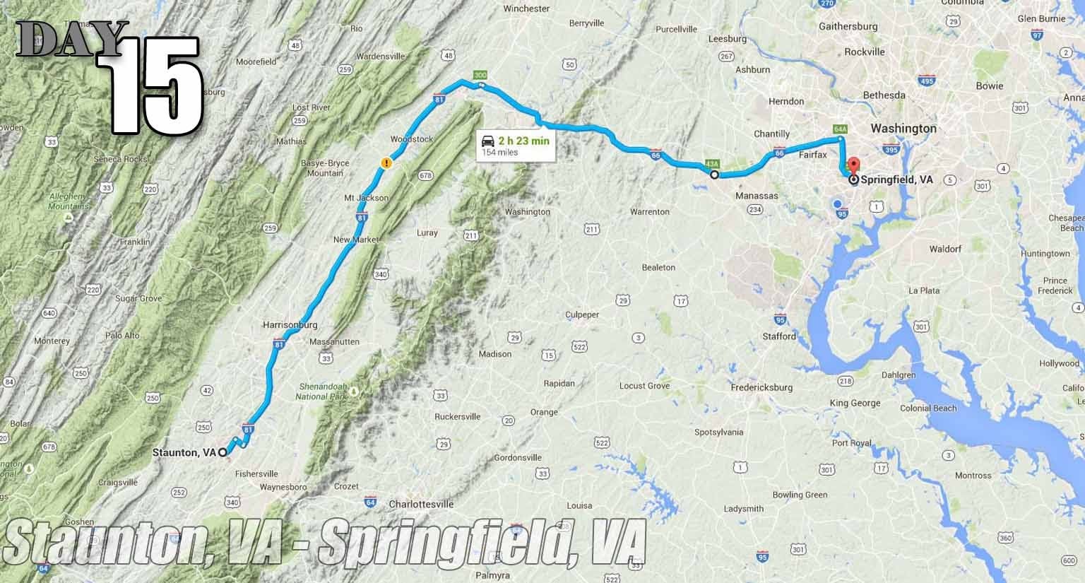
We wanted to get home.
!!! UNKNOWN CONTENT TYPE !!!
Final count: 4500 total miles, only 1725 of which were interstate miles
62% of our trip was
ignoring
the Eisenhower Interstate System. While it’s not desirable for trip like this, I actually love all them boring, droning interstates. Why?
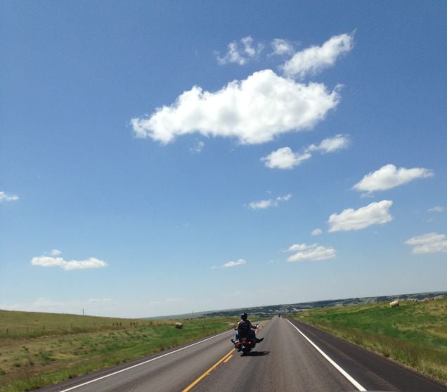
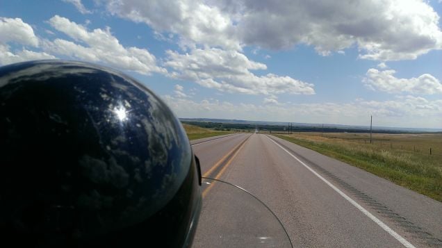
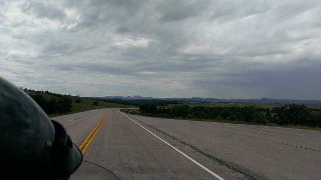
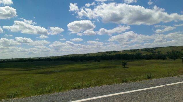
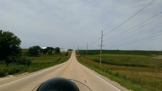
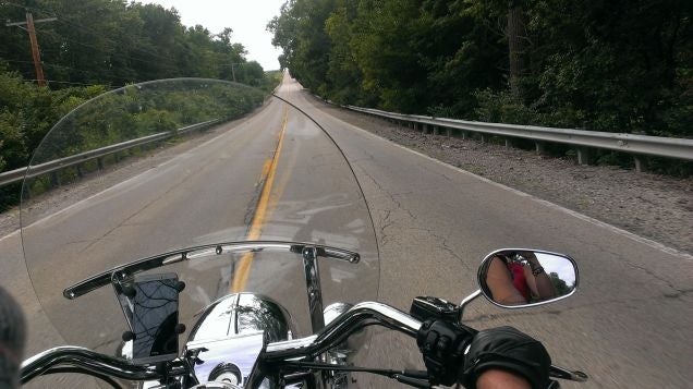
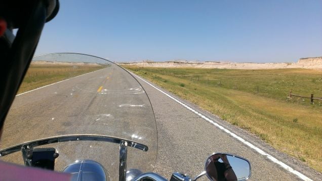
Because it’s full of tractor trailers and impatient busybodies, leaving the rest of us with little traffic and views like these for hours and hours and hours and hours on end.
I swear, there were times that we would go through a whole tank of fuel witout stopping, seeing another car, or thinking about anything at all.

Downsides to Smartphone navigation? Data.
There were some days (especially west of Sioux Falls, SD) where we didn’t have any data at all with Sprint. Thankfully, Mrs McMike brought her Verizon tablet and could enable it as a hot spot for navigation.
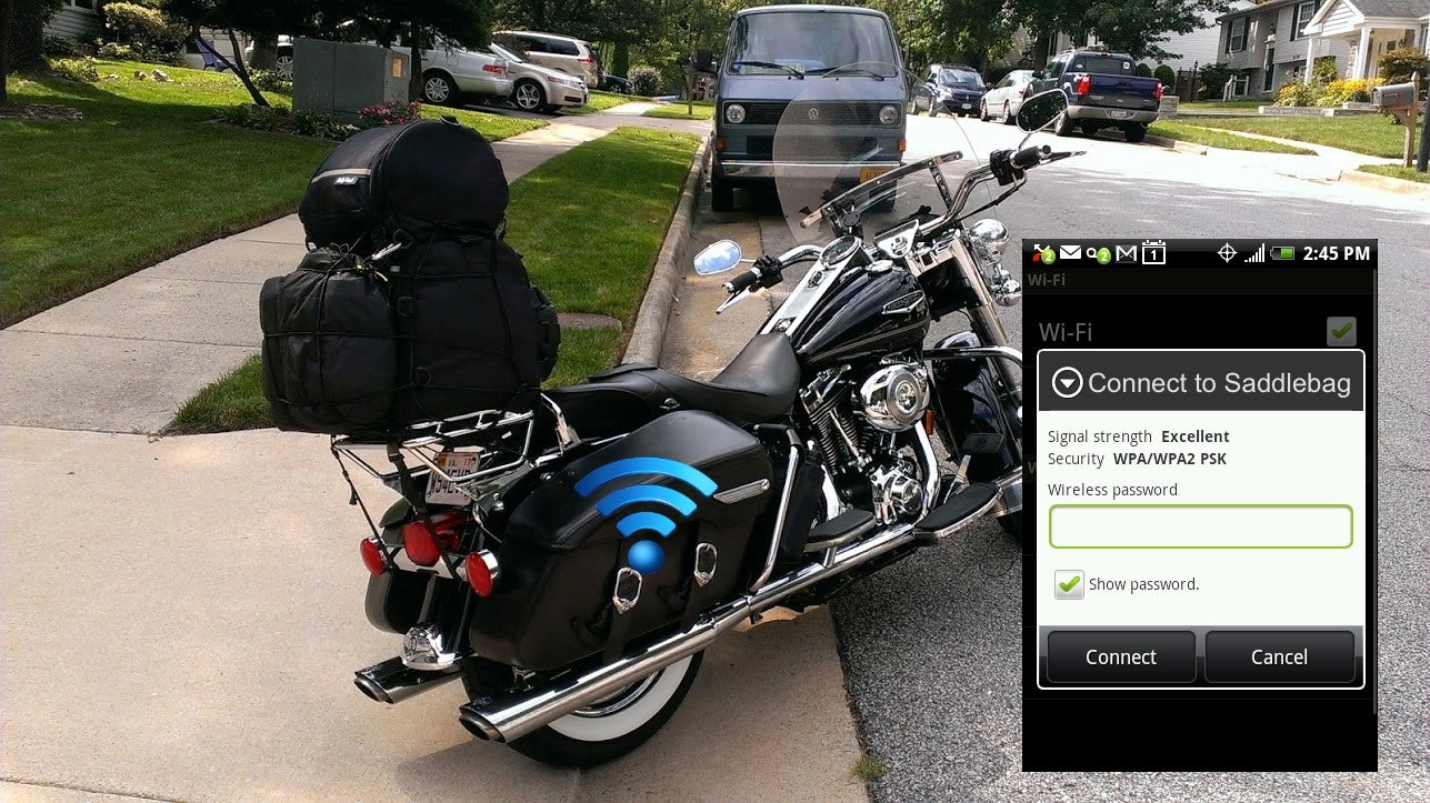
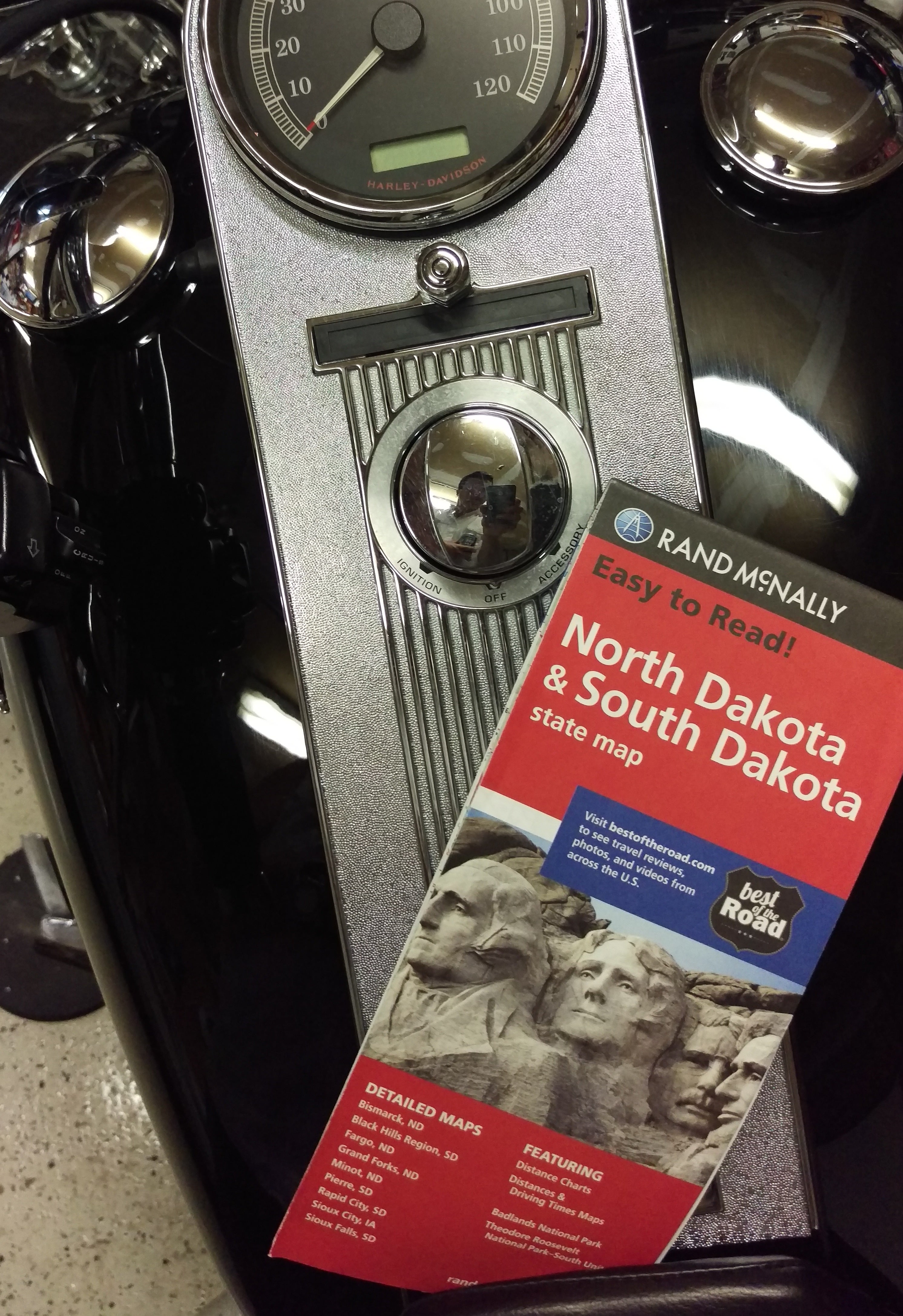
And if that doesn’t work, you can always download the maps ahead of time...
 McMike
> McMike
08/24/2015 at 12:08 |
|
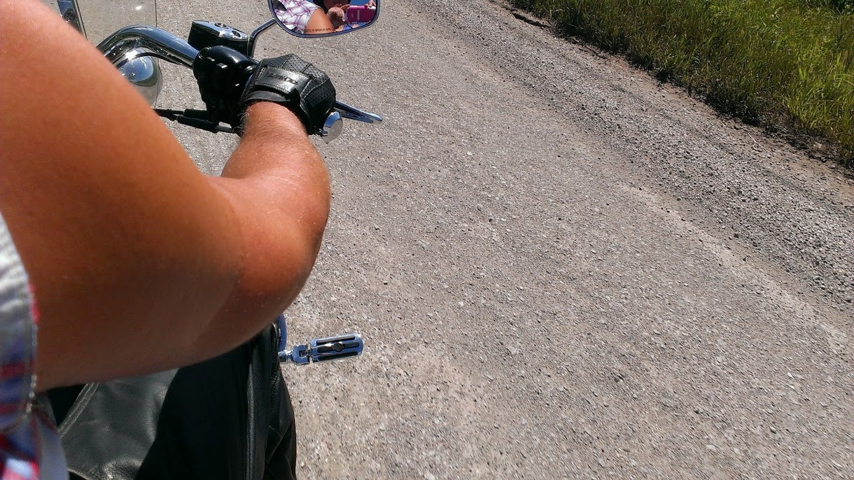
When Google says “Avoid Highways” they mean it.
 McMike
> McMike
08/24/2015 at 12:11 |
|
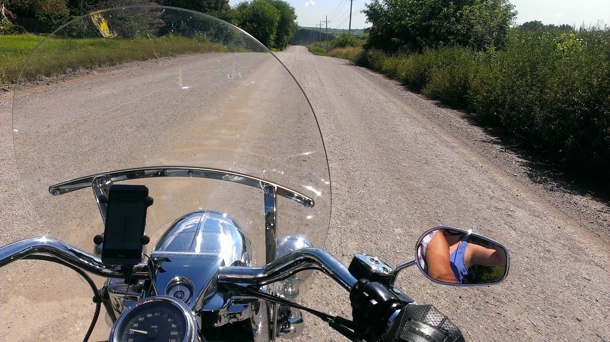
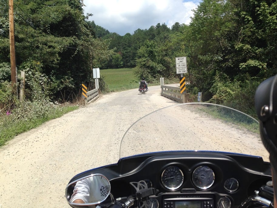
More “off piste” suggestions from Google.
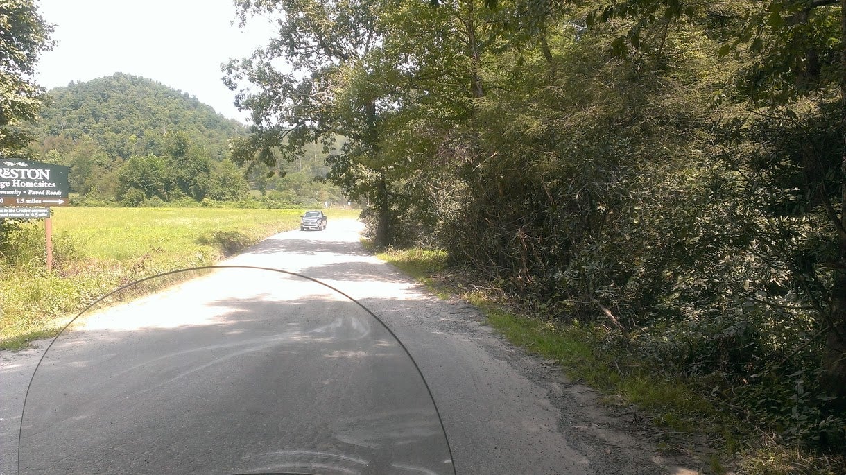
We ended up asking the dude in this truck how much longer this gravel road was. Thankfully it was only about a mile or so.
 DancesWithRotors - Driving Insightfully
> McMike
08/24/2015 at 12:12 |
|
Cairo really is a depressing place, but I drive through there on my way to visit family in TN, because going through there is still better than I-55 through the bootheel of Missouri... That said, you actually passed through my neck of the woods when you were going through St. Joseph on US-36. Should’ve stopped in and said hi.
 Dusty Ventures
> McMike
08/24/2015 at 12:13 |
|
HOW AWESOME ARE THE BADLANDS!!
 LongbowMkII
> McMike
08/24/2015 at 12:14 |
|
Awesome stuff
 Ike
> McMike
08/24/2015 at 12:15 |
|
Love your articles, great yet again, perhaps we could convince you to come on an episode of our podcast?
 McMike
> Dusty Ventures
08/24/2015 at 12:15 |
|
As we got off the highway, the landscape really started getting interesting.
I was glad we were on empty two-lane roads, as I was staring at the scenery the whole time.
 Dusty Ventures
> McMike
08/24/2015 at 12:15 |
|
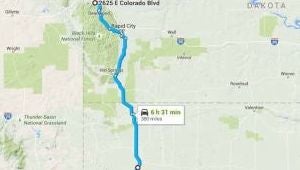
Y U NO
US16A
?
 Jonathan Harper
> McMike
08/24/2015 at 12:20 |
|
Great story, even better visuals, thanks McMike!
 McMike
> Dusty Ventures
08/24/2015 at 12:23 |
|
That was on my list of things to do on our way out of town. I wanted to do a Rushmore drive-by, and then do 16 on the way south instead of using 79
But it was raining that morning, and visibility was pretty bad heading over the mountains. We nixed it.
 JR1
> McMike
08/24/2015 at 12:24 |
|
Very cool. Devil’s Tower always seemed so odd to me. Just out in the middle of nowhere with no real geological features around it.
 ttyymmnn
> McMike
08/24/2015 at 12:24 |
|
Why do you hate West Virginia? If you’re going to spend your whole day on the interstate, I-81 through the Shenandoah Valley is a good way to do it.
 McMike
> Jonathan Harper
08/24/2015 at 12:24 |
|
Thanks. It was hard to remember all those routes.
 Dusty Ventures
> McMike
08/24/2015 at 12:24 |
|
When I went through Badlands National Park I remember wondering why they even bothered posting speed limits, looking around had me doing well below the limit the whole time.
 Dusty Ventures
> McMike
08/24/2015 at 12:27 |
|
 McMike
> ttyymmnn
08/24/2015 at 12:27 |
|
LOL, I thought the same thing once I finished making that map and took a look at it.
I originally had Morgontown as part of our first day route, but we got a late start.
“___________ but we got a late start”
is going to be how many of these replies start with. :)
 McMike
> Dusty Ventures
08/24/2015 at 12:30 |
|
Speaking of speed limits, once we hit SD, I saw my first ever 80MPH sign.
I went 81.
 Dusty Ventures
> McMike
08/24/2015 at 12:32 |
|
I went 85. It was a magical sensation going that fast past cops and having them not give a fuck.
Fuel economy fell off a cliff though.
 JeepJeremy
> McMike
08/24/2015 at 12:35 |
|
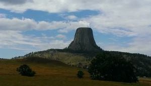
I visited Devil’s Tower when I was 15. I want to see it again. It was truly a wonderful experience to be so close to something that was so magnificently monolithic.
 McMike
> Dusty Ventures
08/24/2015 at 12:37 |
|
The cruise control on the motorbike won’t set if you’re going faster than 85.
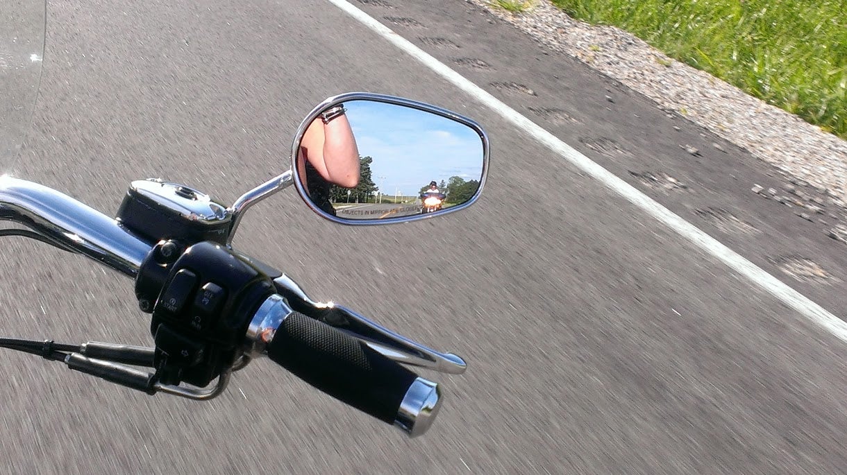
Also, Mrs McMike can see the speedometer from back there.
 McMike
> JeepJeremy
08/24/2015 at 12:40 |
|
It was pretty cool. I can’t believe they wanted to charge people to get in WE COULD SEE IT FOR FREE!
 JeepJeremy
> McMike
08/24/2015 at 12:45 |
|
Do they charge now? I honestly can’t remember if we had to pay. Pop was running the show. I busy was gawking at the weird mountain that shot out of the ground in the middle of nowhere!
 McMike
> JeepJeremy
08/24/2015 at 12:47 |
|
I think it was $10/car $5/motorbike.
The price wasn’t really the reason we didnt’ do it, we were short on time because we got a late start that day.
 JeepJeremy
> McMike
08/24/2015 at 12:53 |
|
I hear ya!
Awesome story, dude! Great break down and cool photos! Thanks for sharing!
 McMike
> McMike
08/24/2015 at 13:01 |
|
This is the day that I learned that the Armadillos have crossed the 39th parallel.
 deekster_caddy
> McMike
08/24/2015 at 13:03 |
|
So in all your pictures you are wearing a helmet? Just curious - as you mention the ‘no helmet’ states a lot. (sorry if you mentioned that - I didn’t read every single description)
 McMike
> deekster_caddy
08/24/2015 at 13:14 |
|
I live in a helmet state (and have my whole life) surrounded my other helmet states, so I never keep track of which states don’t have helmet laws. Aside from moving the bike around parking lots, or across the street to buy gas, I wore a helmet at all times while we were there.
It stood out to me that every, single state we entered for like, 9-10 days were helmetless. It made me think of what the shelves of stores look like. PRobably a lot like snow shovels in Florida. You know each store has to have at least one....
 AntiSpeed
> McMike
08/24/2015 at 15:20 |
|
Cool story!
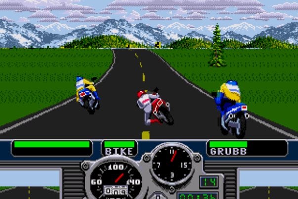
Some of these pictures remind me of the game Road Rash.
 McMike
> McMike
08/25/2015 at 13:42 |
|
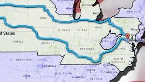
We also refer to this map as
“Fuck you, WV”
 Wrong Wheel Drive (41%)
> McMike
09/03/2015 at 09:23 |
|
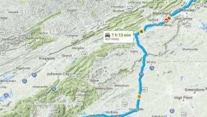
Wouldn’t it have made more sense on Day 14 to just follow the Blue Ridge Parkway all the way back? I know in one day I did Asheville to Roanoke on BRP and then continued on another hour on 81 before stopping for the night and I totally could have went further if I wasn’t camping. I was also in a car so idk how range compares lol.
 McMike
> Wrong Wheel Drive (41%)
09/03/2015 at 09:53 |
|
I would have loved to. I also would have loved to do Skyline drive.
BUT It was the last two days of the trip, and we were looking forward to getting home. Adding another 2-3 hours on top of a travel day wasn’t in the cards.
As far as travel time difference between car and bike?
We stopped every two hours (~130 miles) for fuel. That stop always took 20 minutes because there were things we could not do while on the move:
Smoke
Call home to check in with the kids.
Lottery scratch tickets
Discussing map routes and hotels
Refreshments
Application of more sunscreen
Checking emails, texts, etc.
So, we’re stopping twice as often, and our stops are a little longer. We can’t eat while riding, so our lunch stop was always longer than it could be in the car.